

How large is Flores’ marine-conservation network?
Flores sits within a five-area marine-conservation network spanning Laut Sawu, East Flores, Lembata, Sikka and Alor, covering 4,201,548.79 hectares un…
Topics
Flores sits within a five-area marine-conservation network spanning Laut Sawu, East Flores, Lembata, Sikka and Alor, covering 4,201,548.79 hectares un…
Official monitoring shows sharply different reef conditions at two Komodo sites, while the park’s biodiversity figures reveal why local observations m…
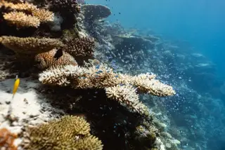
Komodo’s marine zone is vast, while reef health is tracked through a defined network of underwater monitoring sites. The official figures show the sca…
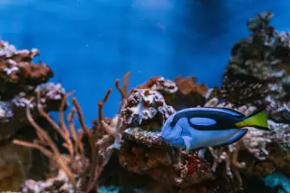
Komodo National Park’s islands and dive sites do not share one blanket access rule. Its zoning system determines where tourism, boat passage, fishing…
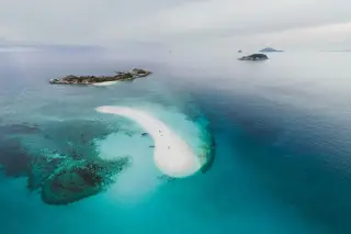
A coral rehabilitation partnership off Pulau Hanita in Manggarai Barat has restored thousands of coral fragments over a 9,000-square-metre area, with…
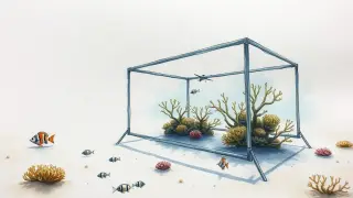
East Nusa Tenggara’s Marine and Fisheries Office and YKAN are working together on technology-driven monitoring and science-based fisheries management…
New research shows Komodo National Park is an essential habitat for reef manta rays, whose movements and behavior overlap with popular tourism sites.
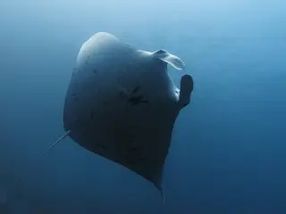
Indonesia’s 2015–2021 coral-monitoring atlas records 281 reef sites across 11 conservation units and confirms Komodo National Park’s role in national…
Komodo National Park is legally defined as a combined land-and-sea conservation landscape, with scientific and official sources describing about 603 s…
Statements and technical studies from 2018–2019 show East Nusa Tenggara’s fisheries chief has long worried about large pelagic purse‑seine vessels and…
Indonesia’s Ministry of Marine Affairs and Fisheries and recent scientific studies confirm that the Savu Sea Marine National Park in East Nusa Tenggar…
Dugongs recorded in Komodo National Park rely on shallow seagrass meadows, yet rare and unpredictable sightings and limited local data mean their cons…
Early management plans and a 2001 stakeholder workplan for Komodo National Park explicitly identified coral-reef communities and mangroves as key mari…
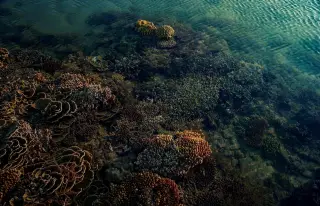
Indonesia’s official conservation atlas and UNESCO documentation both place Komodo National Park in a land-and-sea protected-area framework, with zoni…
Figures from park information and conservation sources indicate Komodo National Park covers about 1,817 km², with roughly 603 km² of land and around 1…