How large is Flores’ marine-conservation network?
Flores sits within a five-area marine-conservation network spanning Laut Sawu, East Flores, Lembata, Sikka and Alor, covering 4,201,548.79 hectares under national and provincial management.
· 2 min read
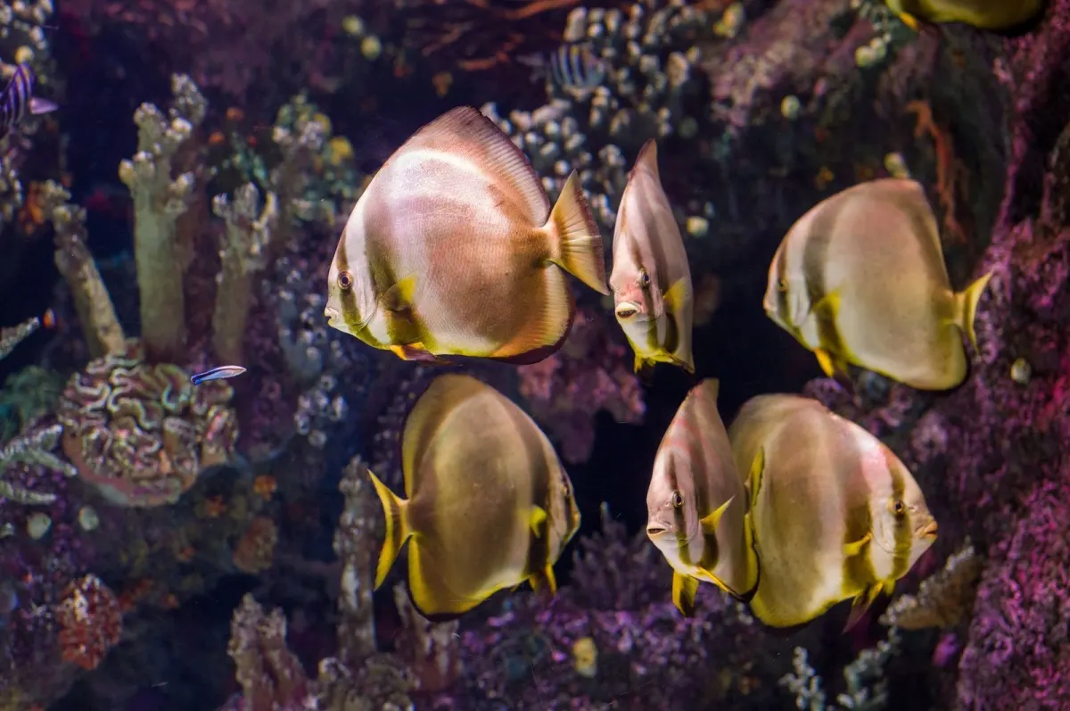
Flores and its surrounding islands are part of a wider Nusa Tenggara Timur marine-conservation network covering five designated areas. The network includes the national Laut Sawu Marine Protected Area and district-managed areas around Alor, Lembata, East Flores and Sikka, linking coastal ecosystems and fisheries management across the province.
Which marine protected areas cover Flores and nearby islands?
According to Indonesia’s Ministry of Marine Affairs and Fisheries, the network consists of five conservation areas: Laut Sawu, Alor Islands, Lembata, East Flores and Sikka. The ministry described the arrangement in 2025 as one national conservation area managed by BKKPN Kupang and four regional areas managed by the East Nusa Tenggara marine and fisheries authority.
How large is the conservation network?
An East Nusa Tenggara government page says the five areas together total 4,201,548.79 hectares, according to the 2021 designation framework. It identifies Laut Sawu as 3.5 million hectares and the Pantar Strait and surrounding waters as 276,693.38 hectares, while the three newer regional areas cover 150,069.35 hectares in East Flores, 199,688.38 hectares in Lembata and 75,097.68 hectares in Sikka, according to the provincial government, 2021.
Why does this matter for Flores’ coastal communities?
The provincial government says the areas contain shallow-water coral reefs, seagrass and mangrove ecosystems that provide habitat for economically important fish used by nearby coastal communities. That connects conservation rules with livelihoods in fishing districts on Flores and the neighbouring islands.
Who manages the areas?
The Ministry of Marine Affairs and Fisheries says BKKPN Kupang manages the national area, while four regional conservation areas are managed by the provincial marine and fisheries authority. The ministry’s 2025 account lists the same five-area network and frames it as a coordinated management system rather than a single park.
What is the practical takeaway?
For readers travelling, diving or assessing coastal activity around Flores, “protected area” does not refer only to Komodo National Park. The official network also includes waters around East Flores, Lembata and Sikka, as well as the much larger Laut Sawu area, with management divided between national and provincial authorities.
Sources
Read next
More on this story
Travel & Access
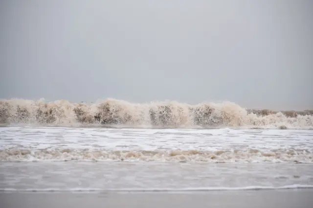
BMKG warns of tidal flooding along Flores and NTT coasts
BMKG warned of potential tidal flooding along East Nusa Tenggara’s Flores-Alor, Sabu-Raijua, Sumba and Timor-Rote coasts from 8 to 10 October 2026.
Latest in Flores & Beyond
Today’s top story
Related