Komodo’s Coral Monitoring Role Clear, but Site Count and Trends Still Uncertain
Indonesia’s 2015–2021 coral-monitoring atlas records 281 reef sites across 11 conservation units and confirms Komodo National Park’s role in national monitoring programs.
Editor: Mursyid Sonsang
· Event date: · 5 min read
Labuan Bajo — — Indonesia’s official coral-monitoring atlas reports 281 coral-reef monitoring sites across 11 marine conservation units for the 2015–2021 period, but the available documents do not state how many of those sites are inside Komodo National Park or how frequently they are surveyed.
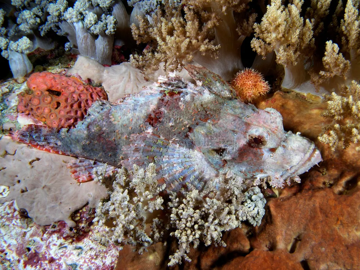
The distinction matters as restoration projects and diving tourism focus attention on specific locations in the park. Planting or rebuilding coral at chosen sites is a restoration intervention, while monitoring involves repeated measurements that are needed to detect whether reef condition improves, declines or remains stable over time.
The main national indicator
The Atlas Monitoring Terumbu Karang di Kawasan Konservasi 2015–2021, prepared by Indonesia’s Directorate General of Conservation of Natural Resources and Ecosystem under the Ministry of Environment and Forestry and published in 2021, states that its national presentation focuses on live coral cover as the key indicator.
According to the atlas, conservation-area management units can collect additional information during underwater surveys, including coral resilience and recruitment, fish abundance and the presence of other marine organisms, but these variables are not used as the standard national indicator in the atlas.
In practical terms, live coral cover provides a comparable picture of the proportion of a surveyed reef surface occupied by living coral at a given point in time. It can describe the condition of a site when it is observed, but a single measurement cannot show whether that reef is recovering or deteriorating; such trends require repeated measurements at the same sites.
The atlas compiles monitoring information from technical conservation offices and spatial-data networks, as well as from scientific publications. Its figure of 281 monitoring sites across 11 conservation units describes the network documented for the 2015–2021 period, not necessarily the current network in 2026.
Komodo in national monitoring programs
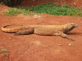
The atlas lists Komodo National Park among Indonesia’s conservation areas, describing its combined terrestrial and marine mandate and noting its importance for the Komodo dragon and surrounding waters with high marine-tourism value. However, the atlas pages reviewed do not present a park-specific inventory of reef-monitoring sites, so the exact number and locations of monitoring stations inside the park cannot be determined from this source alone.
Separate national monitoring initiatives confirm that Komodo is included in broader coral-reef and coastal-ecosystem surveys. A restructuring paper and related documents for the Coral Reef Rehabilitation and Management Program – Coral Triangle Initiative (COREMAP-CTI) list Komodo among marine protected areas targeted for ecosystem monitoring activities. The Implementation Completion Report for COREMAP-CTI states that the Coral Reef Health Index was applied at 39 monitoring sites nationwide and that 12,719,840 hectares of coral-reef area were under continuous monitoring across several conservation areas, including Komodo Island National Park.
That report notes that 39 sites have been monitored continuously since 2015 and shows Komodo associated with a monitored area of 345,032 hectares and multiple years of survey activity. While this confirms that Komodo forms part of the monitored network, the report does not break down how many of the 39 sites are located inside Komodo or provide a site-by-site time series for the park.
Monitoring and evaluation in Komodo
An Environmental Assessment Study – Komodo National Park prepared in 2002 by Jim Singleton, Rini Sulaiman and staff of The Nature Conservancy’s Southeast Asia Center for Marine Protected Areas sets out a comprehensive monitoring and evaluation framework for the park’s marine and terrestrial resources. The study describes plans for biological monitoring programs and lists guiding questions and indicators, including changes in coral habitats, live and dead coral cover, related marine fauna and flora, human-induced damage, and trends in key species and habitats.
The assessment emphasises that the Komodo Collaborative Management Initiative requires an ongoing monitoring program to assess management performance and determine whether objectives are being met. It also notes that seagrass and turtle-nesting habitats are to be monitored, alongside terrestrial species and vegetation.
Status of Komodo-specific reef data
Across the atlas and COREMAP-CTI documents, Komodo appears as a priority conservation area within national monitoring systems, and live coral cover is confirmed as the principal indicator used for national comparison. However, none of the reviewed materials provide a current, park-specific count of active coral-reef monitoring sites, a schedule of survey frequency for each site, or a published time series of live coral cover trends exclusively for Komodo.
As a result, based on these sources, it is not possible to state how many reef-monitoring sites are presently operating inside Komodo National Park, how often they have been surveyed since 2021, or whether aggregated measurements show improvement, decline or no clear change in reef condition.
Sources
- Atlas Monitoring Terumbu Karang di Kawasan Konservasi 2015–2021 – KLHK
- Komodo National Park – Download our Reports page
- Policy Brief related to SDG 14–17 – Universitas Indonesia Sustainability
- Gudang Jurnal Multidisiplin Ilmu article referencing the atlas
- COREMAP-CTI Environmental and Social Safeguard Framework – BAPPENAS/LIPI
- World Bank restructuring paper – Coral Reef Rehabilitation and Management Program Coral Triangle Initiative (COREMAP-CTI)
- Adaptive strategies and community engagement for sustainable management paper – Okayama University repository
Next story
Rinca’s Loh Buaya Visitor Loops and the Mapped Doro Ora Trail
Three ranger-led trekking loops from Loh Buaya currently define the standard visitor experience on Rinca Island, while a separate 2021 hiking map show…
Related