How big is Komodo’s marine zone, and how are reefs monitored?
Komodo’s marine zone is vast, while reef health is tracked through a defined network of underwater monitoring sites. The official figures show the scale of the protected seascape and its conservation challenge.
By Pandi Muktar
Editor: Mursyid Sonsang
· 2 min read
Komodo National Park covers a large marine area that is both a diving destination and a conservation zone: official conservation statistics identify 132,572 hectares of waters, while the park’s coral-reef monitoring record includes 14 dive-monitoring sites. These figures explain why diving conditions and reef protection must be understood together.
How large is Komodo’s marine area?
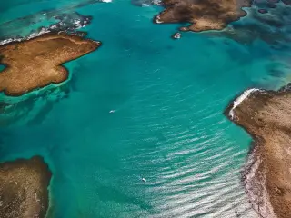
The park’s marine waters cover 132,572 hectares, according to the Ministry of Environment and Forestry’s coral-reef monitoring atlas, published in 2025. The same source lists 40,728 hectares of land, showing that the park is not only a terrestrial habitat for Komodo dragons but also a substantial protected seascape.
How is reef health monitored?
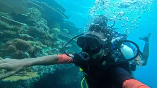
Monitoring is carried out through defined dive sites rather than through a single observation of the whole park. The atlas records 14 monitoring dive sites in Komodo National Park and explains that underwater surveys can provide information on live-coral resilience and recruitment, fish abundance and other marine organisms, according to the ministry’s 2025 atlas.
What do the monitoring numbers tell divers?
The 14 sites are monitoring locations, not a count of all dive sites or a guarantee that reef conditions are identical throughout the park. They provide repeated or structured observation points that can help managers assess changes in coral and associated marine life over time.
Why does this matter for diving?
Komodo’s waters support marine tourism while remaining part of a conservation landscape. The ministry’s atlas says the monitoring programme is intended to track coral reefs in marine conservation areas and to produce information relevant to resilience, recruitment and fish abundance, making reef condition a management issue as well as a visitor experience.
What should readers take from the official figures?
The clearest official baseline is scale plus monitoring: 132,572 hectares of park waters and 14 coral-reef monitoring dive sites. Those figures describe the extent of the protected marine environment and the framework used to observe reef health; they do not by themselves provide a park-wide coral-cover percentage or a site-by-site safety forecast.
Sources
Read next
More on this story
Travel & Access
What BMKG’s Komodo wave forecast means for boat trips
BMKG forecast moderate waves of more than 1.25 to 2.5 metres in Komodo-area waters on 28–29 September 2026. No high-wave category conditions were fore…
Latest in Marine & Diving

Today’s top story

Related