Savu Sea Marine National Park spans 3.35 million hectares in NTT
Indonesia’s Ministry of Marine Affairs and Fisheries and recent scientific studies confirm that the Savu Sea Marine National Park in East Nusa Tenggara spans about 3,355,352.82 hectares and forms one of the country’s largest national…
By Pandi Muktar
Editor: Mursyid Sonsang
· Event date: · 4 min read
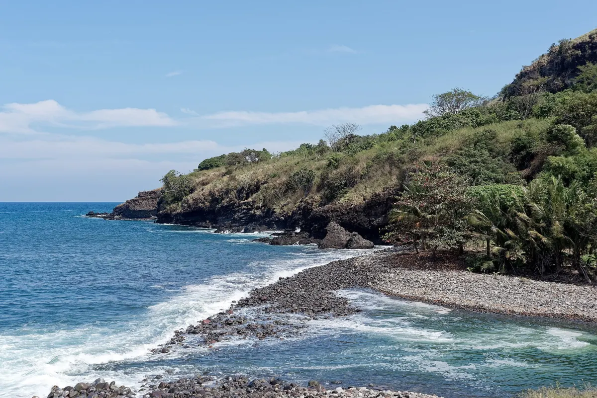
Labuan Bajo — The Savu Sea Marine National Park in East Nusa Tenggara covers about 3,355,352.82 hectares, according to Indonesia’s Ministry of Marine Affairs and Fisheries and supporting management documents for the park. The area forms one of the country’s largest national marine protected areas and is managed by the Balai Kawasan Konservasi Perairan Nasional (BKKPN) Kupang under the ministry.
The park extends across waters south of the islands of Timor, Rote, Sabu and Sumba and is divided into two main sections: the Sumba Strait and surrounding waters, covering 557,837.40 hectares, and the Timor–Rote–Sabu–Batek waters, covering 2,797,515.42 hectares. The Savu Sea is recognised as a corridor for at least 22 marine mammal species and contains coral reefs, seagrass beds, mangroves and key habitats for sea turtles and reef fish, making it a biodiversity hotspot in the Lesser Sunda region.
The current official area figure of 3,355,352.82 hectares is consistent across recent ministry performance reports, marine spatial planning documents and independent scientific studies that describe the Savu Sea Marine National Park as a national marine protected area established in 2014 under Ministerial Decree No. 5/KEPMEN-KP/2014.
Management objectives and threats
Government zoning and management plans identify overuse of marine resources, destructive fishing practices and limited management capacity as major challenges for the park. These documents highlight pressures from intensive fishing, coastal development and shipping along migration routes used by marine mammals.
The national zoning plan for the Savu Sea Marine National Park sets out core, limited-use, port and rehabilitation zones across the 3.35 million-hectare area, including subzones for capture fisheries, aquaculture and tourism use. According to the ministry’s zoning and action-plan documents, management aims to protect critical habitats, sustain fisheries and support compatible economic activities such as eco-tourism and seaweed farming.
Researchers working in the park note that its mangrove and coastal ecosystems underpin local livelihoods while also providing nursery grounds and coastal protection, reinforcing the need for integrated management that addresses both conservation and community needs.
Role of communities and institutions
The park is administered by BKKPN Kupang, a technical unit under the Directorate General of Marine Spatial Management, which oversees eight national marine conservation areas with a combined area of more than 4 million hectares, including the Savu Sea Marine National Park. Ministry working plans and action documents emphasise collaboration with provincial and district governments, local communities and universities in East Nusa Tenggara.
Planning documents for the Savu Sea Marine National Park describe the use of village-based coastal and marine resource management and zoning arrangements that allocate space for small-scale fisheries, aquaculture and tourism alongside strictly protected zones. These arrangements are intended to safeguard biodiversity while maintaining traditional and small-scale economic activities.
Independent studies of community perceptions in the Savu Sea Marine National Park report that local residents recognise the importance of the park for conserving marine ecosystems but also express concerns about restrictions on resource use, underscoring the need for effective communication and participatory management.
Regional context
The Savu Sea Marine National Park sits within the Lesser Sunda Ecoregion and is recognised as one of the largest marine protected areas in the Coral Triangle, with management plans linked to the provincial marine spatial plan for East Nusa Tenggara. Government and scientific sources describe the park as a key corridor for marine mammals and an important area for sea turtles, reef fish and coastal ecosystems in southeastern Indonesia.
Recent ministry performance reports continue to use the 3,355,352.82-hectare figure for the park’s area, indicating that this remains the operative size for national planning and management purposes.
Sources
- Konservasilaut.id – Savu Sea MPA
- Yayasan Konservasi Alam Nusantara – Savu Sea Marine National Park infographic
- Ministry of Maritime Affairs and Fisheries – BKKPN Kupang presentation on TNP Laut Sawu and Gili
- Ministry of Marine Affairs and Fisheries – BKKPN Kupang performance report (Q2 2025)
- Darilaut.id – Laut Sawu Koridor Perlintasan 22 Spesies Mamalia Laut
- Wikipedia Bahasa Indonesia – Laut Sawu
- Kepmen KP 2014 No. 6 on Management and Zoning Plan for TNP Laut Sawu 2014–2034 (Scribd copy)
- Egyptian Journal of Aquatic Biology & Fisheries – Mangrove Diversity and Community Structure in Savu Sea Marine National Park
- MDPI Sustainability – Analyzing Community Perception of Protected Areas: Savu Sea National Marine Park
- Kompasiana – KKP Tetapkan Taman Nasional Perairan Laut Sawu Seluas 3,35 Juta Hektar
Next story
Wuring Father and Son Found Adrift After Losing Contact on Selayar Voyage
Two Wuring fishermen reported missing en route from Sikka to Karumpa Island in South Sulawesi’s Selayar Islands were found alive adrift between Sukun…
Related