

Why Flores and nearby islands face high disaster risk
Flores and its neighbouring islands sit in a volcanic and seismic zone. Indonesia’s 2025 risk index places East Nusa Tenggara in the high-risk category, while Lewotobi Laki-Laki shows how hazards affect communities.
· 2 min read
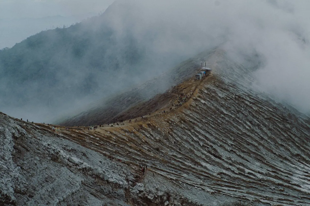
Flores and its neighbouring islands remain exposed to several natural hazards because they sit in a seismically and volcanically active part of eastern Indonesia. Official risk data classify East Nusa Tenggara as high risk, while recent government reporting shows that volcanic activity at Mount Lewotobi Laki-Laki has displaced residents in East Flores.
Why is Flores considered disaster-prone?
Flores, Alor, Komodo, Solor, Lembata and surrounding islands lie along a volcanic belt associated with the Pacific Ring of Fire, according to Indonesia’s National Disaster Management Agency in its 2025 disaster-risk index. The agency says the area is fertile but vulnerable to geological hazards.
The same assessment identifies earthquakes, tsunamis, volcanic eruptions, landslides, drought, floods, extreme weather, coastal abrasion and forest and land fires among the hazards facing East Nusa Tenggara.
What is the official risk level for East Nusa Tenggara?
East Nusa Tenggara received a high-risk classification, with an IRBI 2025 score of 197.43, according to BNPB’s 2025 disaster-risk index. The index covers the province, which has 21 regencies and one city.
BNPB also reports that floods and landslides were the most frequent disaster types recorded in the province’s 2025 disaster information data. The risk score is a province-wide measure, so it does not mean that every village or island faces the same level of exposure.
How does volcanic activity affect East Flores?
Mount Lewotobi Laki-Laki in East Flores remained under an emergency response status in late September 2025, according to BNPB. The report recorded 823 families, or 3,177 people, displaced at that time.
BNPB said the volcano’s activity level was lowered from Level IV, or Alert, to Level III, or Standby, on 29 September 2025. The agency nevertheless reported that the emergency displacement situation continued and that the possibility of further eruptions remained.
What does this mean for people travelling around Flores?
Risk is shaped by location and hazard type: a volcanic emergency in East Flores is different from an earthquake, landslide, flood or coastal event elsewhere on the island or among the surrounding islands. Official risk figures therefore provide regional context rather than a day-to-day safety forecast.
For current conditions, travellers and residents need to follow the latest notices from Indonesian disaster-management and monitoring authorities, particularly during volcanic, seismic or severe-weather episodes.
Sources
Read next
More on this story
Data
Flores earthquake toll reaches 156 as 102,243 homes are affected
A BNPB dashboard accessed on October 27 recorded 156 deaths and 1,620 people injured or sick in the Flores earthquake sequence. NTT logged 102,243 aff…
Latest in Flores & Beyond

Related