
How Komodo’s marine forecasts explain current and reef risks
Komodo’s strong tidal currents make marine forecasts central to dive planning. Official guidance combines hourly sea conditions with local navigation hazards and reef-protection rules.
By Pandi Muktar
· 3 min read
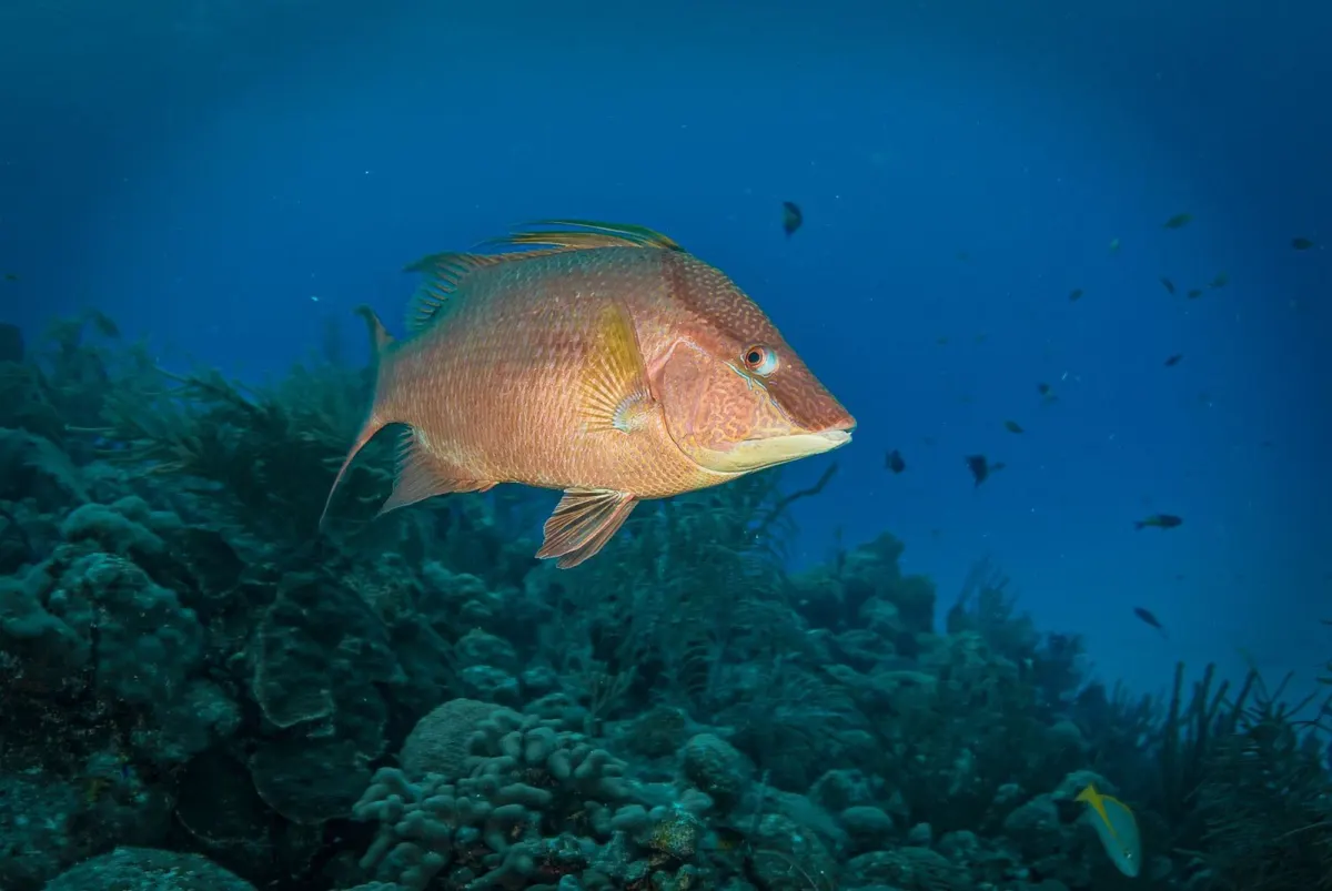
Komodo’s dive safety depends on more than sea state: the park’s shallow straits have strong tidal currents, while official forecasts provide current, wind and wave conditions that can change by hour. Divers and boat crews therefore need to treat the forecast and local navigation controls as part of the dive plan, not as background information.
Why are Komodo’s currents difficult?
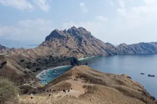
The Komodo National Park authority says the straits between Rinca and Flores and between Padar and Rinca are relatively shallow, at 30 to 70 metres, and have strong tidal currents. It also says the combination of currents, coral reefs and islets makes navigation difficult and dangerous.
The same authority describes the park’s open waters as 100 to 200 metres deep. That contrast helps explain why conditions can differ sharply between exposed water and narrow passages.
What does the official marine forecast show?
BMKG’s marine forecast for Komodo reports wind direction and speed, gusts, significant wave height, current direction and speed, temperature and visibility. On 15 September 2026, one forecast entry showed easterly wind at 12 knots, gusts of 19 knots, waves of 1.7 metres and a south-westward current of 1.6 knots, according to BMKG, 2026.
BMKG defines significant wave height as the average height of the highest one-third of waves during an observation period, according to its Ocean Forecast System explanation, 2026. It is therefore a statistical wave measure, not a promise that every wave will reach that height.
How should operators interpret the numbers?
The forecast is a time-based operating picture rather than a permanent rating for a dive site. BMKG’s Komodo waters table lists conditions hour by hour; in the same 15 September 2026 forecast, the current changed from 1.6 knots to 1.5 knots in the next listed hour, while wind increased from 12 to 15 knots, according to BMKG, 2026.
The park authority’s navigation guidance adds the local geographic context: strong currents, reefs and small islands can complicate boat movement even when a single wave figure appears moderate. Dive planning consequently has to account for current direction and timing as well as wave height.
How can diving reduce pressure on reefs?
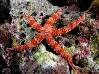
A park workshop report says divers can damage coral through contact, with fins identified as the main source of unintentional damage. The report recommends buoyancy training, a briefing and keeping at least one metre clear of the reef; it also identifies drift diving and mooring buoys as ways to reduce contact and anchoring damage.
The park’s monitoring page says reefs are surveyed by snorkelling at 4 metres and by scuba diving at 8 metres and 12 metres. It reports that overall reef destruction appeared to stop in 1996 and that hard-coral cover then began a slow recovery of 2% per year, according to the Komodo National Park authority, 2026.
Sources
Read next
More on this story
Travel & Access
BMKG warns of thunderstorm risk in Labuan Bajo on 1 November
BMKG forecasts thick cloud, rain and a chance of thunderstorms in Labuan Bajo on Sunday, 1 November 2026. Nearby waters also face a warning of wind gu…
Latest in Marine & Diving

Today’s top story

Related