
UNESCO scrutiny and Komodo National Park’s changing zoning
UNESCO’s 2021 review of Komodo National Park raised concerns over reported 2020 zoning changes, including a sharp reduction in the wilderness zone and growing tourism concessions, and sought clarification from Indonesia on their impact on…
· Event date: · 6 min read
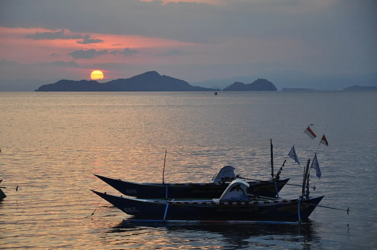
Labuan Bajo — UNESCO’s 2021 State of Conservation report raised concerns over significant changes to Komodo National Park’s zoning system in 2020, including a reduction of the wilderness zone to one-third of its previous area, and requested clarification from Indonesia on the implications for the park’s Outstanding Universal Value and local communities.
Zoning in the park determines which areas are subject to strict protection, where tourism facilities and activities may be developed, and where local communities can continue traditional uses such as fishing and small-scale resource harvesting, under park rules and permits.
The available zoning documents and international reporting reviewed for this article show how Komodo’s spatial plan has shifted over two decades, but they do not establish which specific decree and map are currently applied by park authorities.
From protection to utilization
Komodo National Park was formally established in 1980 and includes Komodo, Rinca and Padar along with smaller islands in the surrounding sea, following earlier recognition of the area as a UNESCO Man and the Biosphere Reserve in 1977 and its inscription as a World Heritage site in 1991, according to UNESCO’s World Heritage Centre and civil society analysis.
A joint paper by Wahana Lingkungan Hidup Indonesia (WALHI) and Sunspirit for Justice and Peace compares the park’s zoning under a 2001 decision with changes adopted in 2012.
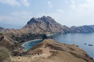
Under the 2001 zoning map, Padar and Tatawa islands were categorized only as core and wilderness zones, emphasizing conservation and very limited human use.
The Ministry of Environment and Forestry’s Decree No. SK.21/IV-SET/2012 introduced new tourism utilization zones on land.
Civil society reports and subsequent media coverage state that 303.9 hectares of Padar’s wilderness zone were converted into a land tourism utilization zone, divided into an estimated 275 hectares allocated for business space and 28.9 hectares for public tourism space.
The same 2012 decree is reported to have converted 20.944 hectares of Tatawa Island, previously entirely within the wilderness zone, into a land tourism utilization zone, later subdivided into public and commercial areas.
These spatial changes gained prominence as the government promoted Labuan Bajo and the surrounding area as a National Strategic Tourism Area, with NGOs and local media linking revised zoning to tourism concessions and planned resort investments.
An academic study on spatial contestation in Komodo National Park describes a broader shift from ecological-based conservation toward market-based conservation, arguing that both earlier and market-oriented models have produced forms of exclusion for local residents because access to space depends on legal authority, economic power and control over key locations.
What the zones mean for access
Documents cited by WALHI and Sunspirit identify several marine zones relevant to coastal communities.
The 2012 zoning scheme describes a Pelagic Use Zone covering about 59,601 hectares and a Nautical Traditional Use Zone of around 17,308 hectares, which later civil society reporting refers to as traditional-use areas where local fishers may operate under certain conditions.
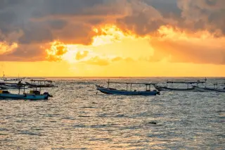
According to those sources, local communities’ access to land and nautical traditional zones requires permits from park management, and fishers must share some traditional-use waters with tourism activities such as diving and liveaboard operations.
The WALHI–Sunspirit analysis reports cases of fishers being intimidated or sanctioned for entering zones they were not authorized to use, and mentions at least one imprisonment after entry into a wilderness zone, framing these incidents as consequences of restrictive and changing spatial rules.
At the same time, park zoning also defines where tourism facilities and visitor infrastructure may be developed.
UNESCO’s 2021 State of Conservation report notes that Indonesia presented tourism infrastructure projects within utilization zones as measures intended to improve quality and resilience, while indicating that an environmental impact assessment (EIA) was being prepared for infrastructure on Rinca Island.
UNESCO and IUCN expressed concern that rapid tourism growth and new infrastructure could adversely affect Komodo National Park’s natural values and the livelihoods of local communities, and stressed that any projects with potential to impact the park’s Outstanding Universal Value should undergo appropriate assessment and review.
On 30 October 2020, the World Heritage Centre requested that Indonesia not proceed with tourism infrastructure that could affect the park’s Outstanding Universal Value before the relevant EIA for Rinca was submitted and reviewed by IUCN.
UNESCO’s position and unresolved issues
In its 2021 State of Conservation report, UNESCO records that IUCN considered the submitted EIA for Rinca infrastructure inadequate and requested that Indonesia revise and resubmit the assessment.
UNESCO notes that no revised EIA had been received at the time the report was drafted.
On 12 March 2021, the World Heritage Centre wrote to Indonesia seeking comments on reported 2020 changes to the park’s zoning system, including the reduction of the wilderness zone to one-third of its previous area, the allocation of additional tourism concessions within and near the property, and legislation reportedly allowing some infrastructure in the park to be exempt from EIA requirements.
The 2021 report does not record a subsequent detailed response addressing these zoning concerns, nor does it provide a final UNESCO decision explicitly endorsing or rejecting the reported 2020 zoning changes.
UNESCO’s State of Conservation process provides guidance and oversight regarding World Heritage obligations, but it does not itself constitute national zoning regulation.
Based on the reviewed sources, the 2001 zoning map, the 2012 revisions and the reported 2020 changes are important for understanding how conservation and tourism interests have been balanced over time, yet they cannot be taken on their own as definitive proof of which zoning map and legal provisions are currently enforced on the ground.
Key figures and timeline
- Padar conversion in 2012: 303.9 hectares of wilderness designated as land tourism utilization, with most of the area assigned to business use.
- Tatawa conversion in 2012: 20.944 hectares converted from wilderness to land tourism utilization.
- Traditional-use marine areas under the 2012 scheme: approximately 17,308 hectares of Nautical Traditional Use and 59,601 hectares of Pelagic Use.
- 2020: UNESCO reports that third-party information indicated Komodo’s wilderness zone had fallen to one-third of its previous area, prompting a request for clarification from Indonesia.
- 2021: UNESCO and IUCN call for a revised EIA for Rinca infrastructure and seek detailed information on zoning changes, tourism concessions and EIA exemptions.
Sources
- UNESCO World Heritage Centre - State of Conservation (SOC 2021) Komodo National Park (Indonesia)
- Komodo National Park – WALHI & Sunspirit for Justice and Peace (World Heritage Watch report contribution)
- p3ebn_daya Dukung Komodo (technical document citing SK.21/IV-SET/2012 zoning)
- Para Pemburu Cuan di Pulau Padar – Floresa.co
- Sodality: Jurnal Sosiologi Pedesaan, “Contestation of Spatial Utilization in Komodo National Park: Access and Exclusion Perspectives”
Read next
More on this story
Wildlife
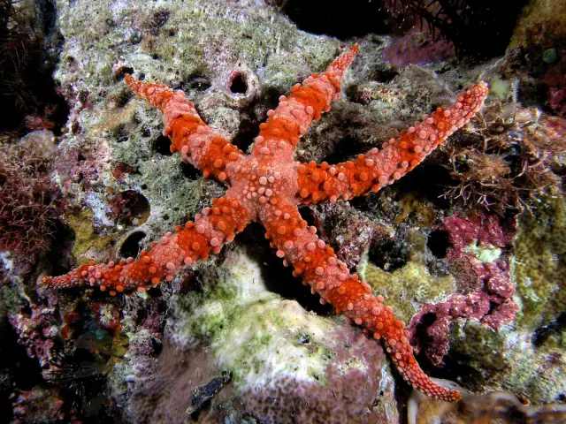
Reports highlight Komodo National Park’s wildlife and marine habitats
Reports describe Komodo National Park as a habitat for Komodo dragons and yellow-crested cockatoos, with coral reefs, fish and larger marine animals i…
Most read in Komodo National Park
Today’s top story

Related