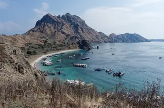
What BMKG’s high-wave warning means for Labuan Bajo and Komodo sea users
BMKG warned sea users in Labuan Bajo and Komodo waters of waves reaching 1,25–2,5 metres during the 8–11 October 2026 alert period. The warning covers sailors, transport users and marine-tourism operators.
By Pandi Muktar
· 2 min read
Labuan Bajo — BMKG warned sea users in Komodo waters about waves of 1,25 to 2,5 metres on 10–11 October 2026. The warning covers sailors, sea-transport users and marine-tourism operators in waters around Komodo National Park and the southern Sape Strait, where conditions may endanger navigation.
The warning was issued by the Meteorology, Climatology and Geophysics Agency (BMKG) in response to stronger winds and rising waves. CNN Indonesia reported that winds were forecast from the northwest to southwest at 17–22 knots, with waves expected to reach 1,25–2,5 metres and potentially higher in open areas.
The affected waters include areas around Kelor Island, Batu Tiga, Molo Strait, Padar Strait, Komodo Island, Luwu Island, Kerangga Island, Mauwang Island, Tatawa Island and Siaba Kecil. The report said these locations can also have strong tidal currents, whirlpools, strong winds and reefs that complicate navigation.
Why it matters to Komodo sea travellers
The warning directly affects boat journeys from Labuan Bajo to Komodo National Park during the stated validity period. BMKG guidance says people carrying out activities at sea should monitor the latest marine-weather information before travelling.
Komodo National Park waters are managed by the park authority, commonly referred to as BTNK, while vessel-safety measures in the reported area involve the Labuan Bajo Harbourmaster and Port Authority (KSOP). CNN Indonesia reported that KSOP Labuan Bajo prohibited night sailing and instructed vessels to avoid hazardous areas.
The reported wave warning follows a wider BMKG alert for Indonesian waters from 8–11 October 2026. A separate report said waves of 1,25–2,5 metres were forecast in southern Nusa Tenggara waters during that period, while vessels and other sea users were advised to follow updated BMKG information.
Sources
Read next
More on this story
Islands & Spots
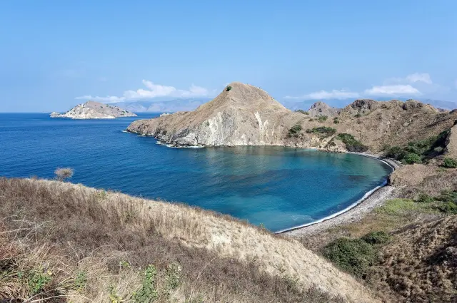
Travel report recommends Labuan Bajo and Padar Island in Flores
A 9 October 2026 travel report recommends Labuan Bajo, Pink Beach and Padar Island among Flores destinations. It highlights Komodo National Park’s mar…
Latest in Marine & Diving
Related