Official profile lists Komodo National Park at 178,746.39 hectares
Indonesia’s conservation agency lists Komodo National Park’s official area as 178,746.39 hectares in Komodo District, West Manggarai, East Nusa Tenggara, but the profile does not break down the figure between land, marine waters or…
Editor: Mursyid Sonsang
· Event date: · 4 min read
Labuan Bajo — Indonesia’s conservation authorities list Komodo National Park as covering 178,746.39 hectares, administratively located in East Nusa Tenggara province in the country’s far east, according to the environment ministry’s protected-area profile.
The profile on the Directorate General of Conservation of Natural Resources and Ecosystems (KSDAE) website places the national park in Komodo District, West Manggarai Regency, East Nusa Tenggara. It describes the conservation area as lying between Flores Island in East Nusa Tenggara and Sumbawa Island in West Nusa Tenggara, with coordinates between 119°20’56”–119°49’08” east longitude and 8°24’00”–8°50’34” south latitude.
The KSDAE entry gives the total park area as 178,746.39 hectares but does not explain how that figure is divided between terrestrial zones, marine waters or individual management blocks. A separate KSDAE page introducing the Komodo National Park management unit repeats the same area figure for the park.
Designation and conservation purpose
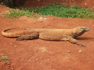
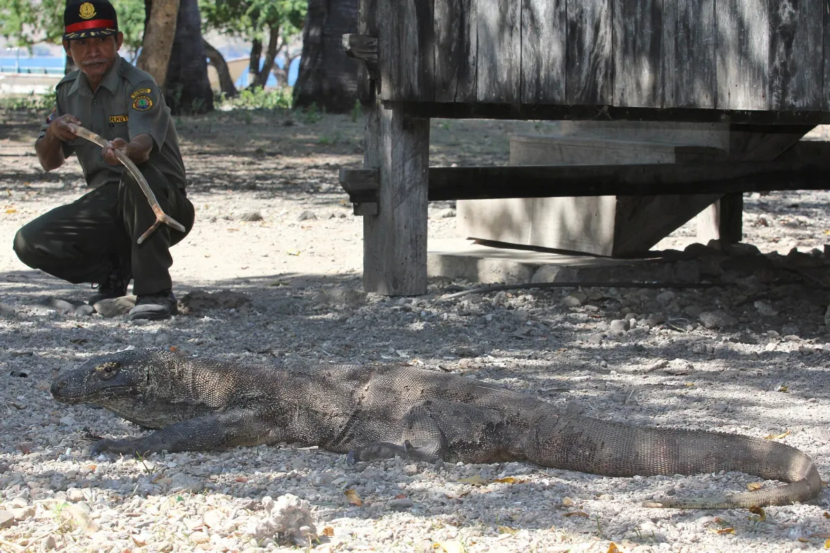
According to the KSDAE profile titled “Profil TN Komodo,” Komodo National Park was designated as a national park in 1980 and later established by the Ministry of Forestry in 2001. The entry states that the park’s purpose is to protect terrestrial and underwater biodiversity, particularly the Komodo dragon (Varanus komodoensis) and the yellow-crested cockatoo (Cacatua sulphurea).
The official park website similarly describes Komodo National Park as one of Indonesia’s earliest national parks, created to safeguard the Komodo dragon and associated habitats in Nusa Tenggara Timur. It notes that the park comprises multiple islands and surrounding marine areas within West Manggarai Regency.
Key figures from Indonesian authorities
The KSDAE profile records an estimated Komodo dragon population of 3,303 animals, with an uncertainty of plus or minus 368 individuals, based on 2021 monitoring data. It also reports a 2021 estimate of more than 955 yellow-crested cockatoos in the park, again citing monitoring data as the source.
Key figures and locations reported in the profile include:
- Total area: 178,746.39 hectares
- Administrative location: Komodo District, West Manggarai Regency, East Nusa Tenggara
- Coordinates: 119°20’56”–119°49’08” east longitude; 8°24’00”–8°50’34” south latitude
- Komodo dragon estimate in 2021: 3,303 ± 368 individuals
- Yellow-crested cockatoo estimate in 2021: more than 955 individuals
The KSDAE profile adds that park management aims to develop Komodo as a world-class ecotourism destination while maintaining its role in Indonesia’s conservation system, with biodiversity protection and the management of priority species at the core of its responsibilities.
International recognitions and wider context
KSDAE notes that Komodo National Park has been recognized internationally, including designation as a biosphere reserve in 1977 and inscription as a UNESCO World Heritage Site in 1991. UNESCO’s World Heritage listing confirms that Komodo National Park was added to the World Heritage List in 1991 under natural criteria and describes the property as a global conservation priority area. UNESCO’s Man and the Biosphere Programme records Komodo as a biosphere reserve dating from 1977.
UNESCO documentation and related conservation summaries describe the World Heritage property as spanning terrestrial and marine ecosystems between Flores and Sumbawa, with the World Heritage area covering about 219,322 hectares, larger than the figure in the KSDAE park profile. The UNESCO Man and the Biosphere profile further breaks down the biosphere reserve as having a total surface of about 1.12 million hectares, including roughly 332,951 hectares of terrestrial area and 785,052 hectares of marine area.
These international figures apply to the broader World Heritage and biosphere reserve designations and not directly to the national park area stated in the KSDAE profile.
While UNESCO and other international sources provide detailed land–sea breakdowns for the World Heritage and biosphere reserve areas, the Indonesian conservation-agency profile that lists the park’s official size of 178,746.39 hectares does not include a comparable breakdown by land, marine waters or management zones.
Sources
Next story
Komodo’s Coral Monitoring Role Clear, but Site Count and Trends Still Uncertain
Indonesia’s 2015–2021 coral-monitoring atlas records 281 reef sites across 11 conservation units and confirms Komodo National Park’s role in national…
Related