BMKG Warns of 3.5m Waves off South Sumba Through 19 September
Indonesia’s BMKG maritime station in Kupang warns of moderate to high waves across key Nusa Tenggara Timur routes from 17 to 20 September 2026, with the highest waves of up to 3.5 metres expected south of Sumba before conditions ease on…
By Mukmin John
Editor: Mursyid Sonsang
· Event date: · 5 min read
Kupang — Indonesia’s meteorology agency BMKG has warned of moderate to high waves in several Nusa Tenggara Timur (NTT) waters from Thursday 17 September to Sunday 20 September 2026, with the most hazardous conditions expected south of Sumba where waves may reach 2.5–3.5 metres according to BMKG’s maritime station in Tenau, Kupang and local media reports.
The information on wave heights and affected waters is based on BMKG’s marine forecast distributed by the Maritime Meteorological Station Tenau Kupang, as reported by RRI Kupang and Akurat.co. BMKG advises coastal communities, fishermen and sea-transport users to closely monitor weather and wave conditions and to adjust marine activities to the latest official information.
The warning period for NTT runs from Thursday, 17 September 2026 at 08:00 WITA to Sunday, 20 September 2026 at 08:00 WITA, covering key straits and open waters used by ferries, tour boats and fishing vessels. While the forecast highlights areas where conditions may be unsafe, it does not itself announce route closures; operational decisions are taken by operators and authorities based on current marine and port information.
Routes and waters under watch
For the 17–18 September window, BMKG classifies most affected NTT waters under the moderate wave category, meaning significant wave heights of more than 1.25 metres up to 2.5 metres. According to RRI Kupang, this category applies to the southern part of Sape Strait, Pantar Strait, the waters south of Flores, the waters south of Alor–Pantar, Sumba Strait, Savu Sea, Ombai Strait, Sabu–Raijua waters, northern Timor, northern Kupang–Rote, Pukuafu Strait, southern Timor–Rote and waters around Komodo National Park.
For the same period, BMKG places the waters south of Sumba in the high wave category, with heights above 2.5 metres and up to 3.5 metres. Akurat.co, citing BMKG’s three‑day outlook starting 18 September, likewise reports high waves of 2.5–3.5 metres expected in the waters south of Sumba from 18–20 September 2026.
In the 18–19 September forecast, RRI Kupang notes that moderate waves remain possible across the previously identified areas, with particular attention to the western part of Sumba Strait. The waters south of Sumba continue to be listed among the areas facing high waves of 2.5–3.5 metres during this period.
For the 19–20 September window, BMKG’s forecast shows moderate waves in the southern part of Sape Strait, northern Flores waters, Flores–Lamakera Strait, Pantar Strait, Alor Strait, southern Alor–Pantar waters, western Sumba Strait, southern Sumba waters, Savu Sea, Ombai Strait, Sabu–Raijua waters, northern Timor, northern Kupang–Rote, Pukuafu Strait and southern Timor–Rote. Both RRI Kupang and Akurat.co report that no NTT waters are listed in the high‑wave category for 19–20 September.
Forecast at a glance:
- Validity: Thursday 17 September 2026, 08:00 WITA, to Sunday 20 September 2026, 08:00 WITA
- Wind: generally from the northeast to southeast, with BMKG noting strong winds over Selat Sape, Selat Sumba, Flores waters, Savu Sea, Ombai Strait, south of Sumba, Sabu–Raijua, northern Timor, northern Kupang–Rote, Pukuafu Strait, southern Timor–Rote and Komodo National Park waters that can increase wave heights.
- Maximum listed wave height: up to 3.5 metres in the waters south of Sumba during 17–19 September (high‑wave category).
- Moderate‑wave range: more than 1.25 metres to 2.5 metres, as defined in BMKG’s marine warning.
What travellers and crews should do
The practical implication for ferry passengers is to confirm the status of sailings with operators or port authorities before leaving for the harbour, and to check the latest BMKG marine forecast for their route. Conditions can differ markedly between sheltered departure points and open straits or exposed coastal waters.
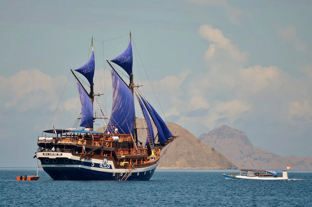
Tour‑boat operators are advised to reassess trips into Komodo National Park waters and other exposed routes when forecasts show moderate to high waves, especially south of Sumba or across open straits. Passengers should follow crew instructions and avoid assuming that previously normal conditions remain unchanged when BMKG has updated its warnings.
For fishermen, BMKG and national media repeatedly highlight the safety risks from stronger winds combined with waves above 1.25 metres, especially for smaller boats. BMKG’s national guidance indicates that fishing boats face higher risk when wind speeds exceed 15 knots and waves exceed 1.25 metres, barges when winds exceed 16 knots and waves exceed 1.5 metres, and ferries when winds exceed 21 knots and waves exceed 2.5 metres. These thresholds provide general context but do not replace the judgment of vessel masters or local port instructions.
The NTT warning for 17–20 September notes strong winds over several listed waters, in some cases up to around 35 knots, in combination with waves that may reach 3.5 metres south of Sumba. That mix of wind and wave conditions is why BMKG urges users of marine transport and coastal communities to stay vigilant and to keep monitoring official updates throughout the warning period.
Context
The NTT forecast is a time‑limited maritime warning whose conditions vary by location and by 24‑hour forecast window, rather than a blanket restriction on sea routes. During 17–19 September, high waves are concentrated south of Sumba, while the 19–20 September outlook lists only moderate waves and no high‑wave areas in NTT waters.
This local warning follows broader national BMKG alerts for 11–14 and 14–17 September 2026, which included southern NTT waters among areas where waves of 2.5–4 metres might occur in the Indian Ocean south of Indonesia. The Tenau Kupang station’s detailed NTT forecast for 17–20 September provides a more specific schedule and list of affected straits and coastal waters for local users in NTT.
Sources
- RRI Kupang - Gelombang Tinggi Mengancam Perairan NTT hingga 20 September 2026
- Akurat.co NTT - Waspada Kecepatan Angin dan Tinggi Gelombang di Perairan NTT Tiga Hari Kedepan
- BMKG - BMKG Minta Masyarakat Tetap Waspada Gelombang Tinggi di Perairan Indonesia (press release)
- BeritaNasional.com - BMKG: Gelombang Tinggi hingga 4 Meter Berpotensi Terjadi di Sejumlah Perairan Indonesia
Next story
Festival Jelajah Maumere 2026 Blends Sikka Culture With Marine-Themed Tourism
Indonesia’s national tourism portal lists Festival Jelajah Maumere 2026 as a three-day coastal event in Sikka Regency, East Nusa Tenggara, combining S…
Related