BMKG warns of high waves in East Nusa Tenggara
BMKG warned of 2,5–4,0-metre waves across maritime routes south of Banten to East Nusa Tenggara on 28 September 2026. Komodo waters were forecast to have moderate waves.
Editor: Mursyid Sonsang
· 1 min read
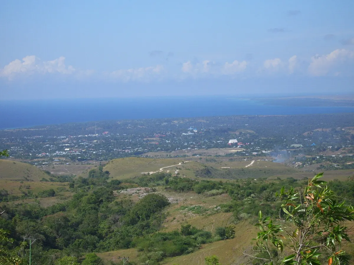
Waingapu — BMKG warned on 28 September 2026 that waves of 2,5–4,0 metres could affect maritime routes from the southern coast of Banten to East Nusa Tenggara. The warning covered the southern Nusa Tenggara Timur maritime area and urged coastal communities, fishers and other marine users to remain alert to high waves.
The warning was issued for maritime conditions on Monday, 28 September 2026. BMKG, Indonesia’s Meteorology, Climatology and Geophysics Agency, classified waves of 2,5–4,0 metres as high.
Why it matters to Komodo readers
Marine conditions in the wider Nusa Tenggara Timur region can affect travel and other activities on the water. Moderate waves of 1,25–2,5 metres were forecast in the waters of Komodo National Park, while higher waves of 2,5–3 metres were forecast in western Sumba Strait, waters south of Sumba and waters around Sabu-Raijua.
The regional forecast from BMKG’s Tenau Maritime Meteorological Station applied from 28 September 2026 at 08.00 WITA (UTC+8) to 1 October 2026 at 08.00 WITA (UTC+8). The waters of Komodo National Park were among areas expected to experience moderate waves.
Marine users were advised to monitor conditions and adjust activities in response to the warning. No closure of Komodo National Park or specific suspension of services was stated.
Sources
Read next
More on this story

Travel & Access
BMKG forecasts clear to partly cloudy weather in Labuan Bajo
Labuan Bajo is forecast to have clear to partly cloudy conditions on Monday, 28 September 2026. Temperatures are expected at 22–28°C, with humidity of…
Most read in Travel & Access

Today’s top story

Related