What BMKG’s Komodo wave forecast means for boat trips
BMKG forecast moderate waves of more than 1.25 to 2.5 metres in Komodo-area waters on 28–29 September 2026. No high-wave category conditions were forecast in the following periods.
Editor: Mursyid Sonsang
· 2 min read
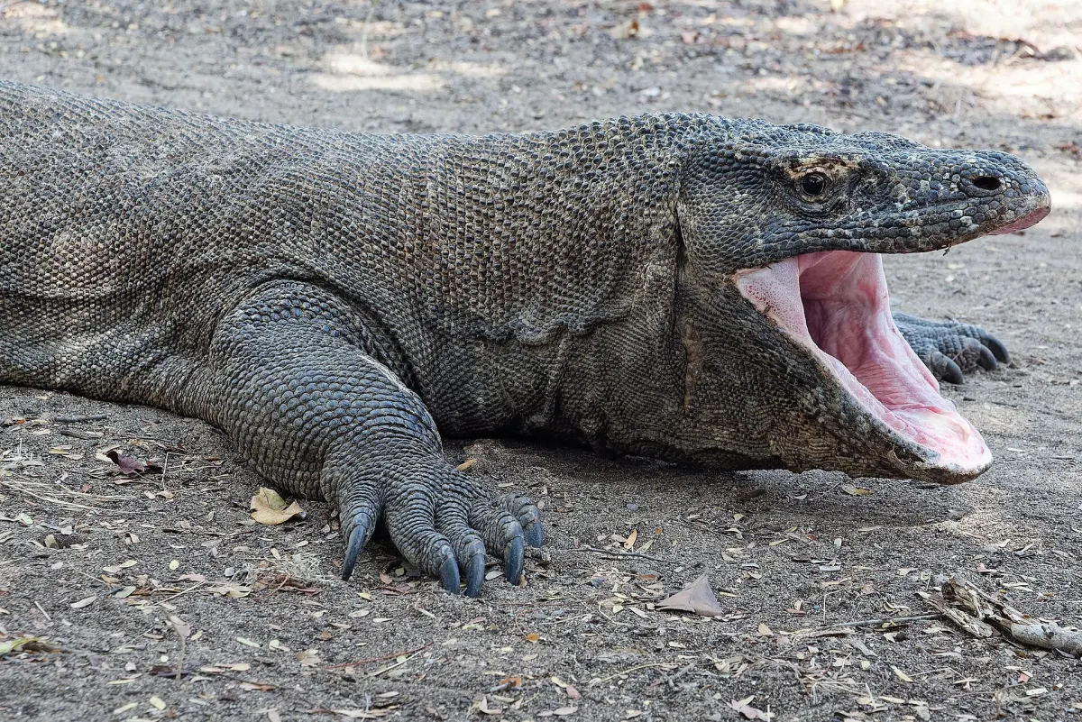
Kupang — BMKG Stasiun Meteorologi Maritim Tenau forecast moderate waves of more than 1.25 to 2.5 metres in waters including the Sape Strait and Komodo National Park from 28 to 29 September 2026.
The maritime forecast was valid from 08.00 WITA (UTC+8) on 28 September 2026 until 08.00 WITA on 1 October 2026, according to RRI. The affected waters also included the Flores-Lamakera Strait, Pantar Strait, Alor Strait, southern Flores, southern Alor-Pantar, the Savu Sea, Ombai Strait, northern Timor, northern Kupang-Rote, Pukuafu Strait and southern Timor-Rote.
BMKG defines moderate waves as more than 1.25 to 2.5 metres in the forecast cited by RRI. The agency separately forecast high waves of 2.5 to 3 metres in the western Sumba Strait, southern Sumba and waters south of Sabu-Raijua on 28 to 29 September 2026.
Why it matters to Komodo readers
The forecast provides a rule for interpreting marine conditions around Komodo: moderate-wave conditions were forecast for 28 to 29 September, while BMKG forecast no high-wave category conditions for 29 to 30 September and 30 September to 1 October.
Moderate waves could still occur in several areas during those later periods, according to RRI. The report does not state that all waters would be calm.
RRI reported that the information came from BMKG Stasiun Meteorologi Maritim Tenau. The report also stated that the forecast covered waters in East Nusa Tenggara.
Sources
Read next
More on this story

Wildlife
How wildlife monitoring protects Komodo National Park’s species
Scientific monitoring in Komodo National Park tracks dragons, manta rays, turtles, reefs and fish through repeated surveys, helping managers measure w…
Most read in Travel & Access

Related